You see a map and you are looking at a place – a place you can go to, visit, see and smell. A place.
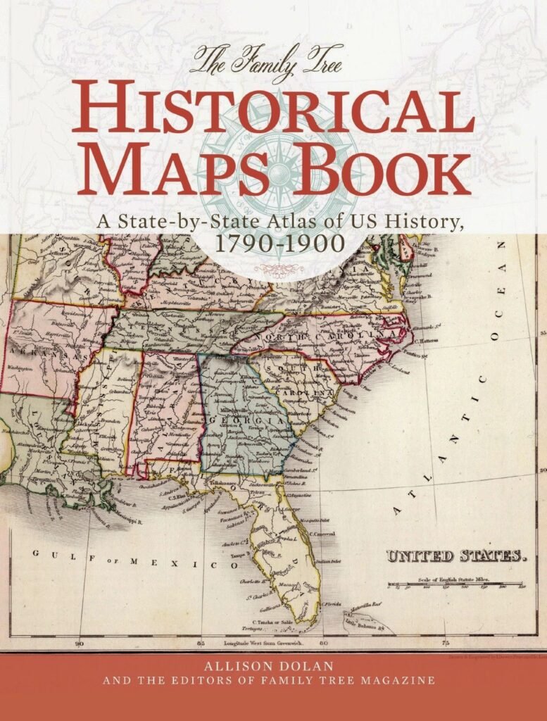
But maps (and we are talking about those older nice foldable paper ones) are snapshots of the day they were laid out in a print shop somewhere. You find a map for the 1920’s and you’ll find places that simply do NOT exist today.
There are no ruins. No nature reclaimed roads to walk. Nothing.
The place you see on that map has been erased. You could be looking at an obsolete atlas, a very old survey map or a yellowing road map. The names you see remain in county and state records but they are no longer connected to any place you can visit.
There may still be a few among the living who remember…
But the map remembers. Always.
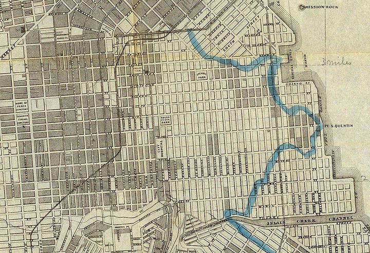
Towns Beneath the Water
Big dams built for electricity, flood control, recreation. Valleys and low-lying land were dammed up and the rivers behind the dam flooded the landscape. Hundreds (or probably thousands) of communities were erased.
Churches were torn down, occasionally relocated or outright abandoned. Graves were relocated…some of the time. Houses were leveled. The waters rose and erased it all.
You can easily find stories of boaters who routinely see stone walls, foundations and other artifacts in these man-made lakes on calm days. When the water is low due to drought, bridges, chimneys and long forgotten roads may emerge from their watery graves. Liquid ghosts.
In a sense, these places which you can easily find on old maps still exist. But you can’t walk there – you can’t visit.
Places like the infamous Lake Lanier – north of Atlanta Georgia – not far from the eastern HQ of Radio Free Weird. Many graves exist in its flooded landscape. Many ghost stories are told in this area – maybe those forgotten graves are trying to reach out to us today.
Neighborhoods That Were Intentionally Forgotten
There are also many vanished places that weren’t the victims of water.
Neighborhoods and entire towns that disappeared under new highways, urban renewal projects and that thing called “redevelopment.”
You can go most anywhere that is remotely urban and find neighborhoods that vanished within the span of a single generation. Corner stores gone. Landmarks gone. Only some dim photos in a shoebox or album (and maybe some online) are there to remind us and inform us of where we came from.
You travel over streets that now have different names, different buildings and different lives. The pavement changed – those maps still remember.
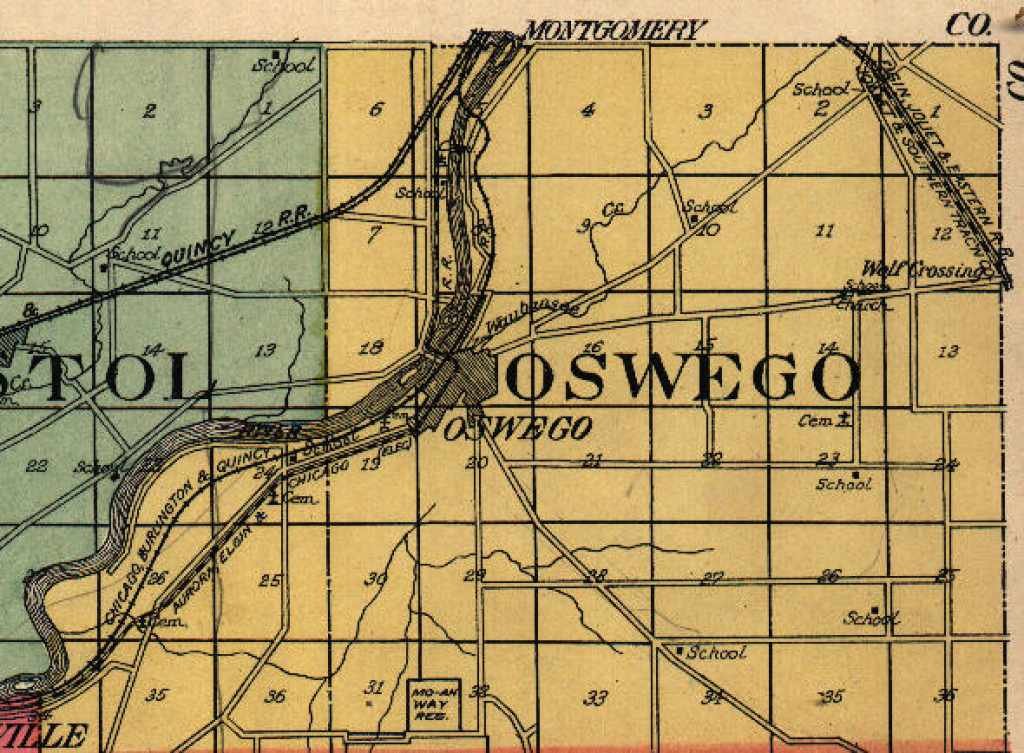
The Ghosts Hidden in Old Atlases
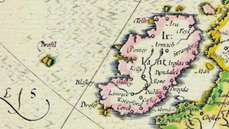
Collectors of antique maps and atlases know this feeling: a name that stands out, could be a village, crossroads, railroad stop. You pull up Google Maps and search for it – nothing.
The town may have been absorbed by the urban sprawl. The coal mines or the steel factories folded up shop and then all the people followed. A post office may have closed. The highway through town moved. Whatever the reason, the town slipped away. Today these towns and places are only remembered in old atlases and maps and maybe a few local history buffs.
They will never appear on our phones. No street view, no terrain maps. Just a geographic and cartographic memory.
Phantom Geography
Some vanished places still influence the landscape.
Many of our modern-day property lines follow roads long forgotten. You can drive around and see many tree lines tracing abandoned fields. You can see cut lines through the woods where the railroad lines were removed. Local folks call places by names you can’t find on your phone map. Older people still give directions such as “just past the old Line Road” when the old Line Road has been gone for fifty years.
Invisible geography.
The layers of the past built up on the land through many generations. Today only the faintest of outlines remain.
Mapping Memory
You can probably call the old maps and atlases historical “fiction” in a way. They captured a world changing even during the capturing process. Businesses closed before the ink dried. Roads changed courses. Neighborhoods were left behind.
When we think of history we typically think of books, museums, cemeteries, monuments and similar things.
Sometimes history only exists in an old folded highway map in a glove compartment of a car rusting in a junkyard. An atlas buried on a shelf in your grandparent’s house.
We stumble across these artifacts years and years later and find vanished roads and places. Communities that can only be found now in a census record. Names that your phone map will go “duh” when you search.
The old maps are our radio receiver picking up faint signals from landscapes broadcasting beneath the surface of our modern lives.
Somewhere beneath a quiet lake, under a parking lot, or deep inside an overgrown forest, a town that no longer appears on any current map is still waiting for someone to remember its name.